Land, buildings & digital data
3D scanning & photogrammetry
Make the site possible to examine in a model or a map image. From overlapping drone photos, we create digital data tailored to how the project will use it and what it requires.
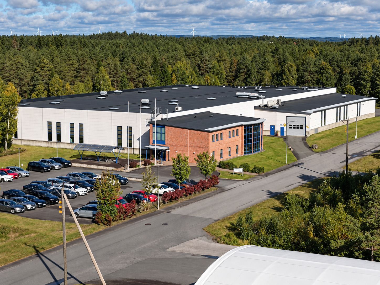
Used for
Data you can keep working with
Land & facilities
Create a complete overview of land areas and facilities. With properly planned capture, the data can be used for areas and volumes, for example.
Buildings & properties
Document visible parts of buildings in a photo-based 3D model that can be examined from several angles.
Planning & coordination
Give the project team a shared picture of the site. File formats and coordinate systems are adapted to the intended use by arrangement.
Delivery
The right delivery for your workflow
Not every project needs the same kind of model. We decide which data you need, how it will be used and which quality requirements should be checked.
For contractors, design consultants and property owners who need digital documentation of a site. The need for surveyed reference points, coordinate systems and measurable accuracy is decided before the flight.
What you receive
- A textured 3D model of visible surfaces
- Orthophoto – a stitched, geometrically corrected aerial image
- A point cloud or elevation model when included in the assignment
- Agreed file formats and a report on the checked quality
Illustration
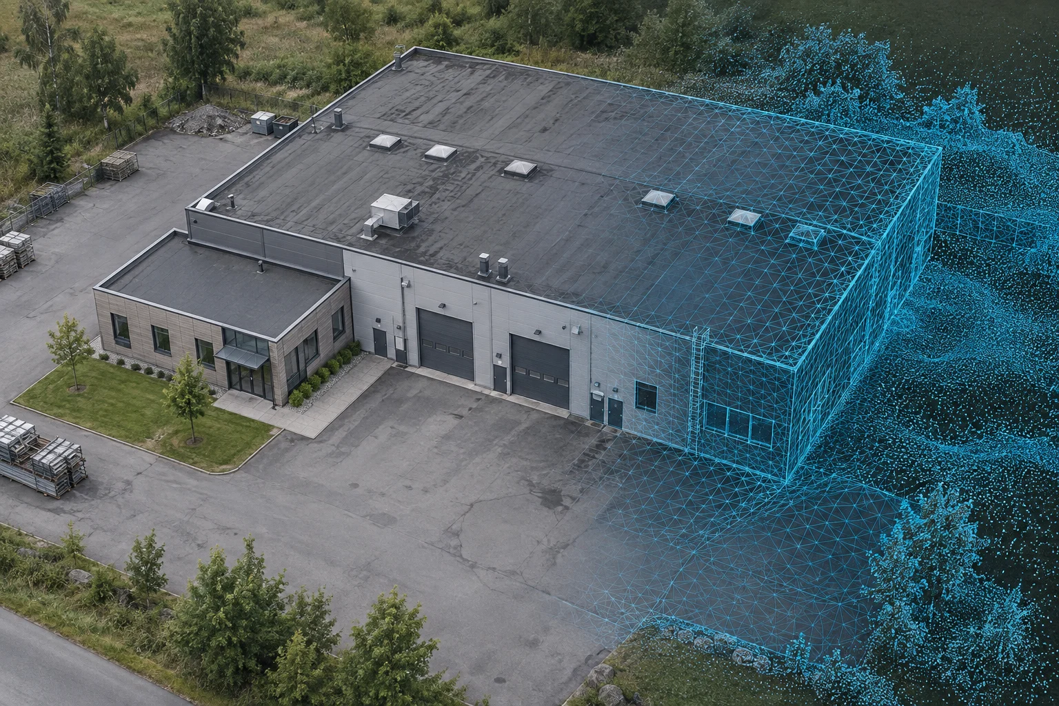
From images to a measurable model
Overlapping drone images are processed into 3D models, point clouds and orthophotos. Measurements and areas are extracted as agreed.
The image is an illustration. The data is intended for planning, estimating and documentation – safety-critical measurements should be verified on site.
 Illustration
How we work
How the assignment works
Requirements & use
We go through what the data will be used for and decide the delivery, coordinate system and required accuracy.
Capture plan
The flight is planned with overlapping images. The need for surveyed reference points and independent checkpoints is assessed.
Flight & processing
The area is photographed systematically. The images are processed into the models or map products included in the assignment.
Quality control
We check coverage and the agreed quality requirements. The data is delivered in the agreed formats, with relevant limitations stated.
What affects scope and price
- The size and complexity of the area or building
- Required accuracy and need for control points
- Delivery format – model, point cloud, orthophoto or dimensioned PDF
- Number of measurements and area calculations
- Access, airspace and flight conditions
Related services
Services can be combined in the same visit when it suits the assignment.
Questions and answers
Frequently asked questions
What is the difference between photogrammetry and laser scanning?
Photogrammetry builds models by comparing overlapping photographs. Laser scanning uses a laser to measure distances. Here, 3D scanning means photo-based capture by drone; the method is chosen based on what needs to be documented.
How accurate will the model be?
Accuracy depends on factors such as image resolution, the subject, image overlap and how the model is positioned and checked. We don’t promise a general centimetre-level accuracy. Requirements and the checking method are decided for each assignment.
Can the files be used in CAD or GIS?
That depends on which product and which software you need. Tell us about your software, file formats and coordinate system before the assignment, and we’ll agree on a suitable delivery. A photo-based model is not automatically a finished CAD or BIM model.
Can you calculate areas and volumes?
That can be included when the capture and reference data are planned for it. For volumes, we need a defined boundary and an agreed reference surface, among other things. Use and quality requirements are decided before the flight.
What will your digital data be used for?
Describe the area, the delivery you want and the software you work in. Then we can suggest the right scope and capture method.